UN launches PulseSatellite, a web-based tool to analyze satellite imagery in humanitarian contexts
By Felicia Vacarelu, Communications Specialist, & Tomaz Logar, Big Data Engineer, UN Global Pulse
For the past three years, we, at UN Global Pulse, have been working with UNOSAT to build a software tool that leverages artificial intelligence to identify and count structures from satellite images. From there, we expanded to a web-based toolkit that can be easily adapted to other remote sensing applications and which allows incorporation of models created by other users. Today, we officially launched the toolkit at the AAAI conference on artificial intelligence in New York.
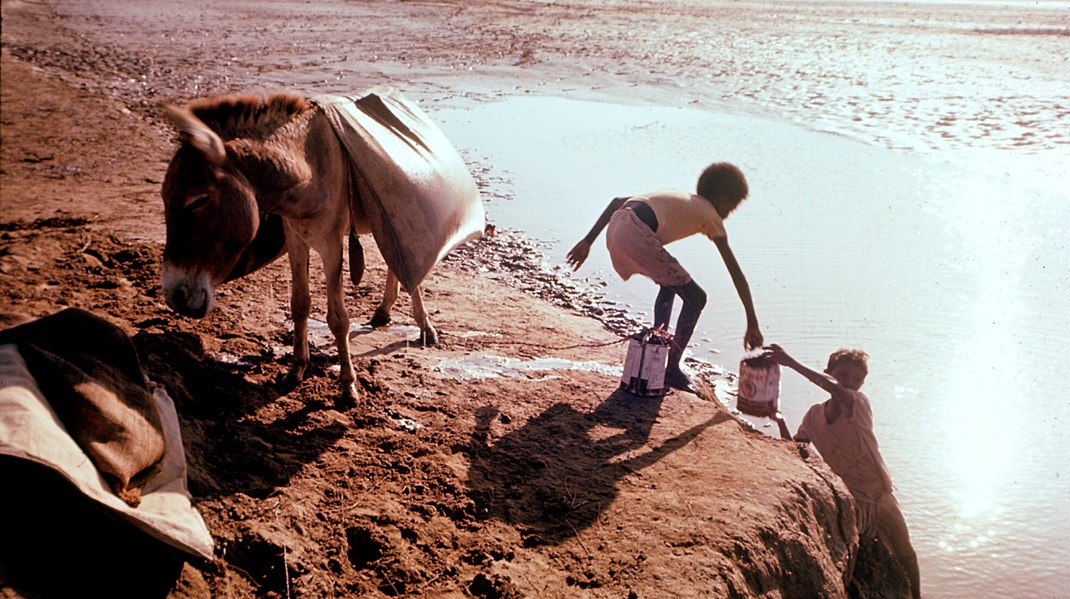
Every day, millions of images are captured from space by an ever-growing number of satellites. In humanitarian crises or conflict areas, accurate and timely satellite image analysis is key to supporting critical operations on the ground. Use cases include monitoring population displacement, settlement mapping, damage assessment, fire detection associated with human rights violations, damage to transportation networks, flood assessment and identifying the direct impact of earthquakes, volcanoes, cyclones and landslides.
Until recently, this type of analysis was done by human analysts who spent hours in front of a map manually counting and classifying structures and other elements. There are now some pay-as-you-go services which also offer automated options although these are often directed towards specific use cases, or do not have the mandate to provide information on critical areas relevant to the UN.
PulseSatellite will allow our UN colleagues to get the most out of earth imagery by putting artificial intelligence to work. We already have three models loaded into the system – one that allows users to map structures in refugee settlements; a roof density detection model that can be used for example, to infer the type of neighborhood by looking at the size and proximity of its roofs; and a flood mapping model.
Down the road, additional models will be developed to look at other phenomena such as deforestation, fires, or damage assessment.
Our web-based toolkit combines cutting edge machine learning algorithms with human expertise to extract the most relevant information. One way it does this, is by giving users without specific data science knowledge the means of improving machine learning models through simple training workflows. It also enables interactive collaboration since dispersed teams can work on the same satellite image at the same time.
Check out our PulseSatellite microsite.
What do we say?
“We wanted to build a web-based tool that is tailored to the needs of UN agencies and that is easy to use. The collaborative nature of the system is what hopefully makes it invaluable, both because it allows teams across time zones and geographies to work on the same project, and because it encourages teams to upload and use their own models, as well as share them with others.”
Tomaz Logar, data engineer, UN Global Pulse and lead of the project
What does our partner say?
“PulseSatellite is an exciting example of a system combining AI and human experience to greatly improve the use of satellite imagery in the UN system. By employing artificial intelligence and a great and intuitive interface, the power of satellite imagery is much more accessible to UN colleagues.”
Lars Bromley, geospatial specialist, UNOSAT
We wish to thank our donors, the Government of The Netherlands and the Government of Sweden, for their continued support in the development of this tool.